Riviera Maya Travel Guide
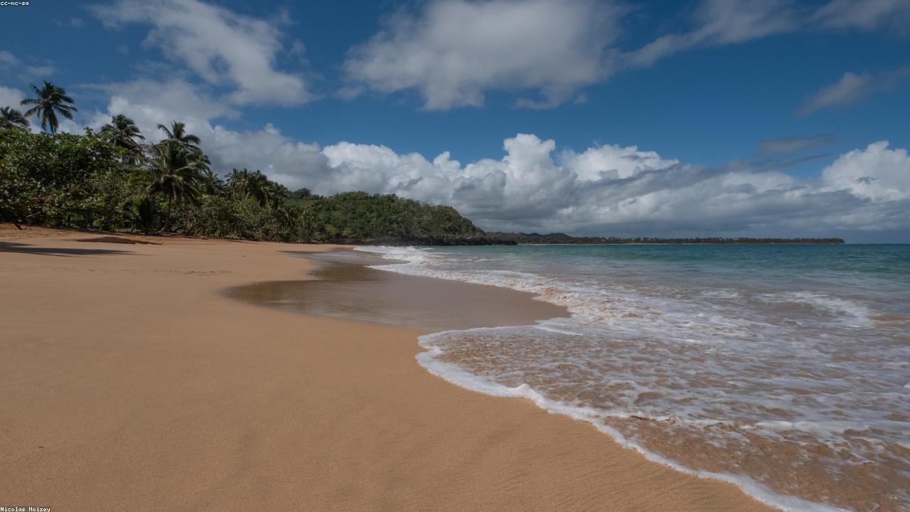
The Riviera Maya is the coastal corridor that runs roughly 120 kilometers from Puerto Morelos to Tulum, stitching together beach towns, cenote routes, eco-parks, and Mayan sites along a single highway. It is the most developed stretch of coast in Mexico — and still full of quiet corners: fishing villages, protected bays like Akumal, and jungle roads that end in swimming holes. This cluster holds the practical, regional guides: when to visit (the dry season from December to April is most reliable; sargassum seaweed varies from May to October), how to get around (ADO buses, shared colectivos, and private transfers), and how to combine the pieces — a reef morning, a cenote afternoon, a ruins day. Every experience linked here is run by a verified local operator and confirmed instantly with a QR pass.
Guides and articles about Riviera Maya
Frequently asked questions
When is the best time to visit the Riviera Maya?
December to April is the dry season with the most reliable weather. May to October is hotter and more humid, with sargassum seaweed varying by beach and week — and whale sharks from June to September.
How do I get around the Riviera Maya without a car?
ADO buses connect the main towns, shared colectivo vans run constantly along the coastal highway, and booked private transfers cover hotel-to-hotel trips. Most tours include hotel pickup.
What is the sargassum situation?
Sargassum is a seasonal drifting seaweed that can reach Caribbean beaches mainly between May and October, varying a lot by location and week. West-facing spots like Cozumel's west coast and Isla Mujeres' Playa Norte are usually least affected.